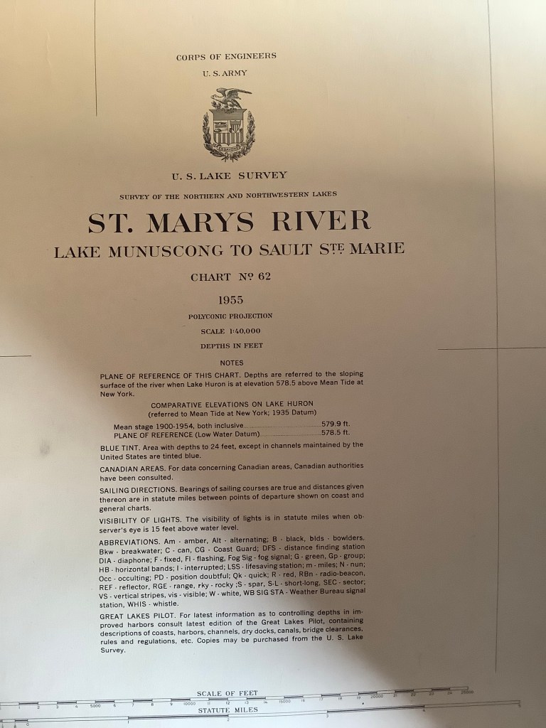
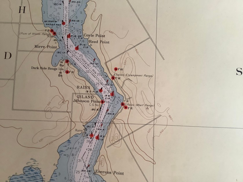
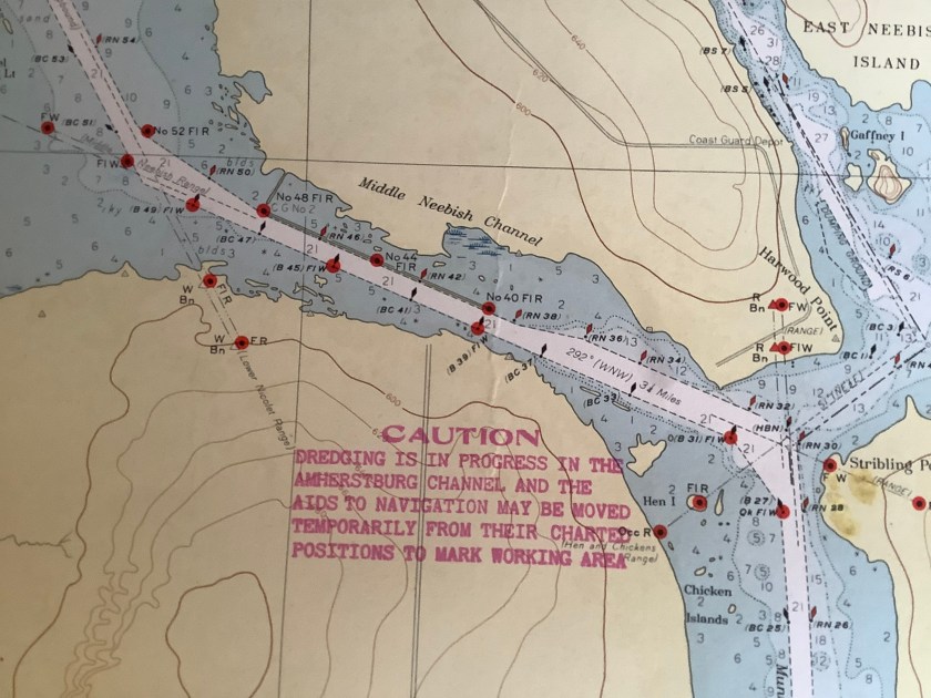
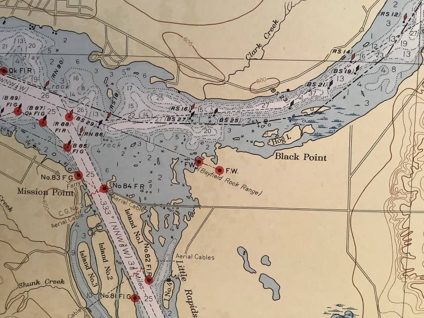
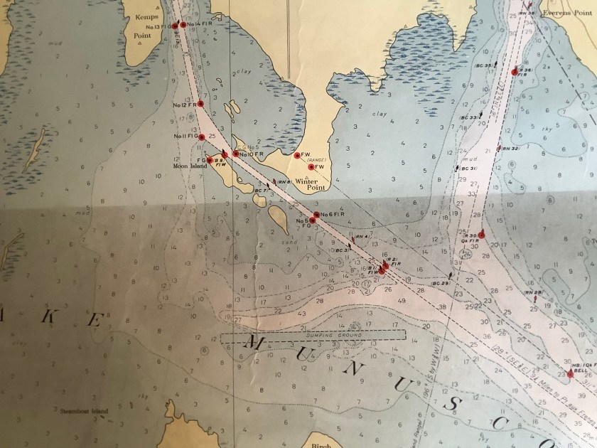
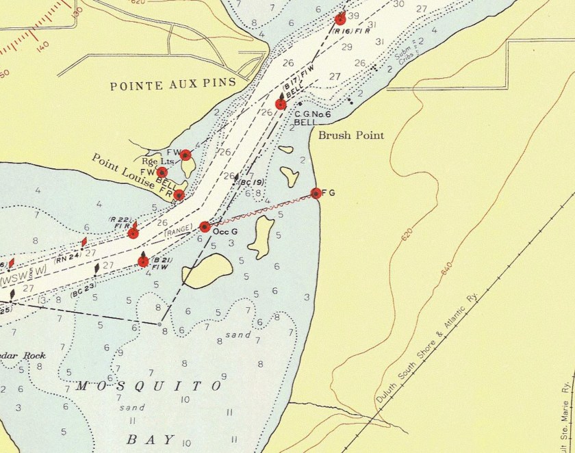
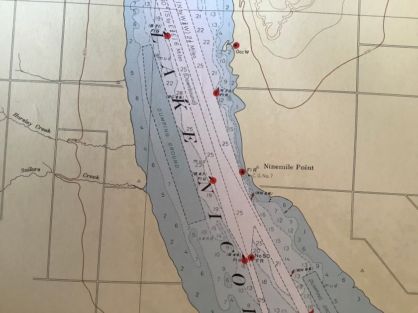
The following maps are enlargements from a US Lake Survey map from 1955. Above is the legend for that map. Each of the seven lookout sites are shown on a blowup below.Lookout #1 was on the east side of Neebish Island at Johnson’s Point.Lookout #2 was on Sugar Island at the Middle Neebish Channel.Lookout #3 was at the Little Rapid’s Cut (at Rotary Park)Lookout #4 is located on the mainland at the Neebish Island Ferry.Lookout #5 was on Moon Island in the Munuscong LakeLookout #6 was off Brush Point at the west end of the St. Mary’s River.Lookout #7 was at Nine Mile Point on Sugar Island.